Digital Humanities
Latest Past Events
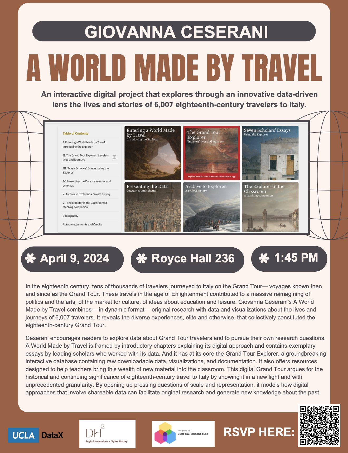
GIOVANNA CESERANI, A WORLD MADE BY TRAVEL
236 Royce Hall Royce Hall, Los AngelesJoin us for an enlightening exploration into the world of eighteenth-century travel to Italy with Giovanna Ceserani’s groundbreaking project, "A World Made by Travel." Delve into the lives and journeys of 6,007 travelers through an interactive digital experience at Royce Hall 236. This innovative project combines original research, data visualization, and interactive tools to reveal...
Booksnake Demo by Sean Fraga
Scholarly Innovation Lab, Room 11630L 280 Charles E. Young Dr., Los AngelesBooksnake is a new software tool that makes it feel like digitized cultural heritage materials are physically present in the real world, using augmented reality (AR) technology in consumer smartphones and tablets. Unlike humanities projects that use virtual reality (VR) or AR to publish custom content, Booksnake is a general-purpose, content-agnostic tool for existing online...
Global Humanisms Digital Humanities Forum
Royce 306Organized by Chris Johanson (Classics and Digital Humanities, UCLA) and Zrinka Stahuljak (CMRS-CEGS, UCLA). This workshop will serve as a forum on Digital Humanities research in Cultural Heritage sites. The focus will be on the Eastern Adriatic sites over a long period of time (300-1600). The Eastern Adriatic, with its rich ancient, late antique, medieval...


